
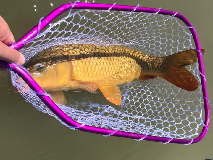
Living in the state of Arizona, most people don’t think about trout fishing. Truth be told, there is more than rattlesnakes and saguaros in this desert state, and with a bit of work, some very respectable fish can be found.
The one key tool that any respectable fisherman needs when exploring in Arizona is a good map. A good map can take many forms, and often times, the best type is a topographical map. Topos are worth their weight in gold when trying to find an access points into the rugged canyons through which Arizona’s creeks flow. That same map that was beneficial accessing the creek can be a lifesaver when trying to get back out to the truck, as steep rock walls seem impenetrable.
Although the topographical map is arguably the most accurate, it may not be the best tool for the job. The most valuable maps are often drawn by hand and exchanged with a solemn oath to never spill their secrets. Typically, they include hastily scribbled odometer readings, forest road numbers, and notes that read “if you see burned tree next to the dinosaur-egg-rock, you’ve gone too far.” These hand drawn diagrams are treasure maps where “X” marks the spot full of hungry trout ready to gobble up a well-placed fly. Fly fishermen don’t share these readily and typically after a trip or two, they are left in a safe place at home, lest they fall into the wrong hands.
Every state and locale has their honey holes that only the locals know, but it seems in this digital age that more of these locations are being leaked. I married an Arizona girl and will likely be here for life, and I can tell you quite easily, those hastily scrawled maps are tucked away in the safe next to car titles, birth certificates, and the rest of the other valuables only to be passed on to the next generation of Smiths.


